

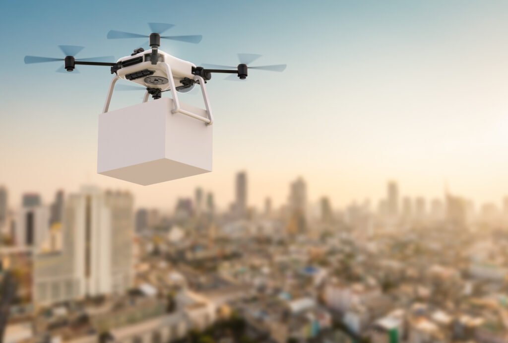
In the business world, the usage of commercial drones is replacing antiquated legacy systems with cutting-edge AI-powered processes, ultimately leading to greater efficiency.
Most people think of uncrewed aerial vehicles (UAVs), also known as AI drones, as complicated military technology or a fun toy for enthusiasts who want to take stunning aerial shots of nature, sporting events, or cities. However, at present, the key users of drone technology are corporations and industries using this intelligent technological instrument to develop better and more efficient operations. DJI Matrice 30 Series Drones are being used for more than just surveillance and filming in the business world; they are revolutionising entire sectors.
The commercial usage of drones is making it easier and faster for insurance companies to inspect damaged property. Commercial usage of drones is helping farmers better manage their operations and gather timely, valuable crop data. These examples of business drone use are just the tip of the iceberg, and innovators are steadily bolstering the potential of drones for commercial application across all sectors and fields of study.
Advertising
The entertainment business isn’t the only media-related industry that has been utilising the benefits of commercial drones. The advertising sector is also on par with the entertainment industry regarding leveraging flying robots to generate spectacular and inventive adverts. Advertisement firms worldwide are already deploying drones carrying promotional banners as the next big thing in the industry. Moreover, firms are deploying drones to airdrop promotional products in concerts or other public events. And this is only just the beginning.
The Function of Commercial UAVs
While piloting a drone may seem simple, the technology behind them is somewhat convoluted. A lot is happening with several technologies working together behind the scenes to make flying possible, all of which may be controlled by an interactive interface with a joystick. Commercial drones rely on several different technologies to function correctly.
Connectivity
To allow remote pilots to receive the birds-eye perspective from drones, these “flying robots” are connected with wireless communication. Despite the seeming ease and fun of controlling these “robots in the sky” from a smartphone or tablet, this connectivity requires substantial technological advancements. Drones driven by modern artificial intelligence systems typically include GPS coordinates to plot a fully autonomous flight path. Wireless connectivity also allows consumers to track their batteries in real-time.
Rotors
The rotors govern the commercial drone’s vertical movement. Drones’ rotors, which typically consist of propellers coupled to a motor (used for hovering), allow them to generate a downward thrust equivalent to the earth’s gravitational pull and an enormous thrust to rise against gravity or generate a lower thrust for fall or decrease speed. Drones can hover because two of their four rotors rotate clockwise while the other two rotate counterclockwise.
The Use of an Accelerometer and Barometer
The accelerometer and altimeter, which regulate the drone’s velocity, course, and altitude, are also crucial to the operation of commercial drones. These characteristics are crucial not just for the drone’s flight but also for its safe landing, preventing it from sinking unexpectedly into the “Wash.”
Cameras
In addition to these vital technical components, the cameras installed on DJI Matrice 30 Series drones significantly increase their practicality and adaptability. Most commercial drones already have a camera installed for remote pilots to use for line-of-sight monitoring, but some may also allow you to integrate image sensors as payload. As a result, UAVs have many practical applications in industry and commerce beyond simply taking breathtaking aerial photographs of faraway places and landscapes.
One everyday use for drones in agriculture is to map crop health and soil fertility with the help of infrared or thermal scanners. Additionally, drones equipped with night vision cameras might be used to monitor borders and other areas.


